 ADW Johnson
3D Design & Reality Capture
Designing, coordinating, and managing the servicing of developments
Why Us?

DRIVING CLIENT VISION
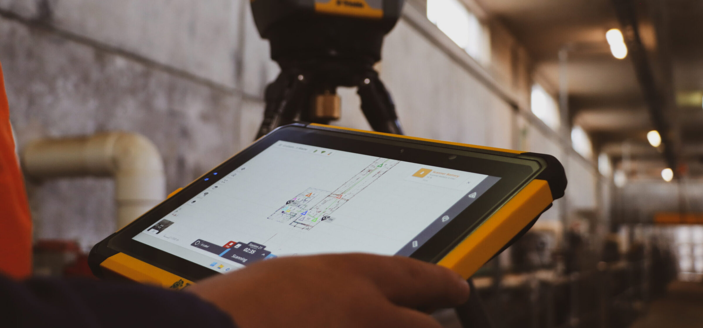
We believe that every successful project begins with accurate information. Our preference is to capture reliable spatial data from the outset — using industry-leading laser scanning technology to build a dependable foundation that designers, engineers and contractors can trust throughout every stage of delivery.

MULTI-DISCIPLINARY EXPERTISE
We have the ability, knowledge and technology to support the full range of disciplines we offer, from town planning, landscape architecture and urban design through to our multidisciplinary engineering team and land surveying. We also support our internal teams collectively, providing survey-grade data that improves coordination and reduces costly rework across every project.

TECHNICAL PRECISION
Our 3D Reality Capture team and 3D designers have a clear focus on delivering data our clients can depend on. We believe that accurate visualisation and reality capture are essential to good decision-making, helping project teams detect issues early, engage stakeholders with confidence, and bring designs to life exactly as intended.
Service Offerings
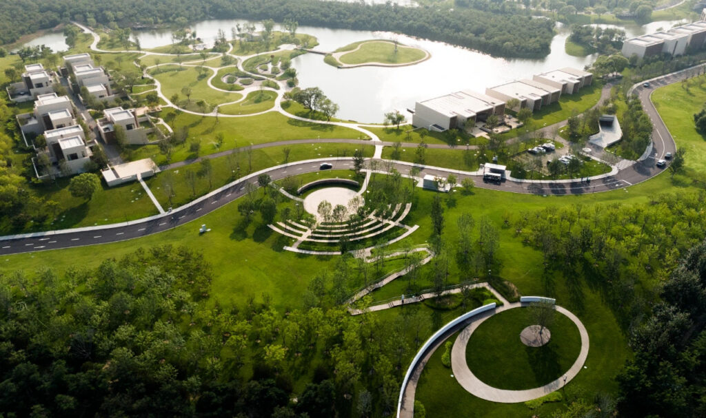
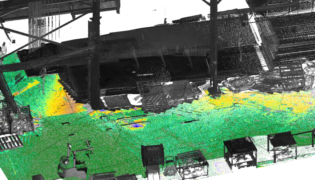
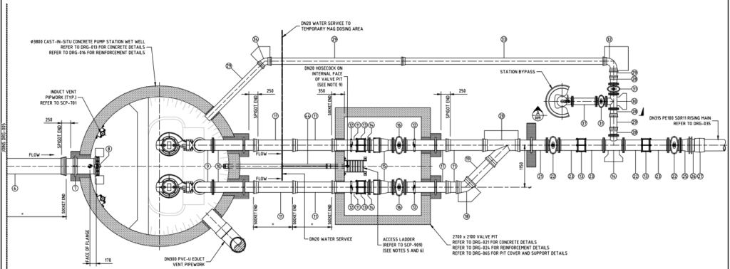
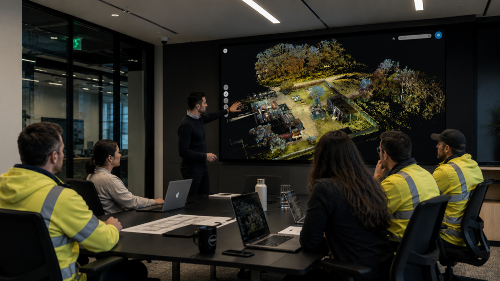
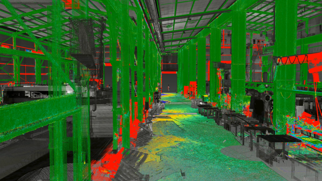
Our 3D Reality Capture team uses industry-leading laser scanning technology to create highly detailed digital representations of streetscapes, open space, water and sewer networks, and complex urban environments.
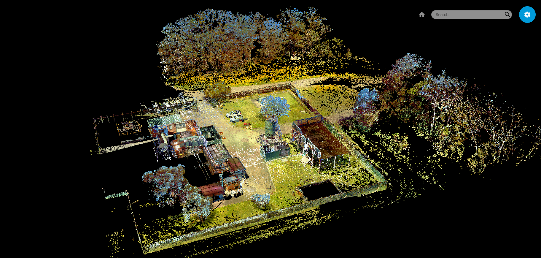
By capturing millions of accurate measurement points, we provide landscape architects, urban designers, civil engineers and surveyors with dependable spatial data that improves coordination across disciplines, reduces costly rework and supports informed decision-making throughout every stage of a project.
Whether you’re documenting existing site conditions for a landscape masterplan, modelling water and sewer infrastructure, monitoring structural movement or producing digital twins of public spaces, our experienced team delivers reliable, survey-grade data tailored to your project requirements.
Build with Confidence
Accurate spatial data forms the foundation of every successful project. Talk to our 3D Reality Capture specialists about how laser scanning can improve design certainty, reduce project risk and streamline construction.
How Visualisation Supports Your Project
Whether you’re documenting existing site conditions for a landscape masterplan, modelling water and sewer infrastructure, monitoring structural movement or producing digital twins of public spaces, our experienced team delivers reliable, survey-grade data tailored to your project requirements.
Planning
Visualise projects in their real-world environment
Validate
Detect design issues early
Refine
Reduce costly design changes
Engage
Improve stakeholder understanding
Consult
Enhance community consultation
Approve
Streamline planning approvals
Build
Improve contractor coordination
Verify
Confirm the finished project matches the design intent
Capture Reality. Design with Confidence.
Capture existing conditions with millimetre precision using advanced 3D laser scanning and reality capture technology.
3D Design & Visualisation
From concept renders to construction sequencing, our visualisation services help project teams and stakeholders see exactly what’s being proposed — before a shovel hits the ground. Whether you need to secure planning approval, coordinate with contractors or simply help clients picture the finished result, we tailor the output to suit the audience and the stage of your project.
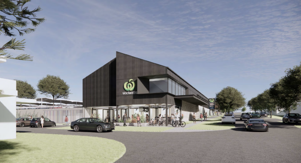
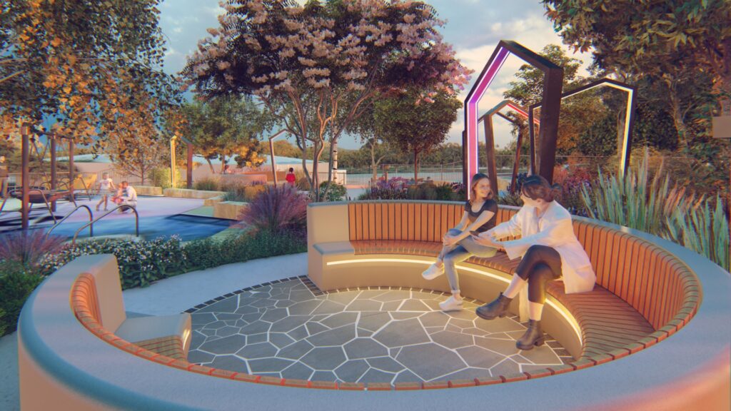
Photorealistic Renders
Create high-quality still imagery that accurately represents your project before construction.
Suitable for
Flythrough Animations
Tell the story of your project through cinematic animations.
Perfect for
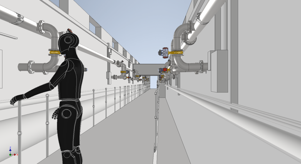
Engineering Visualisations
Technical accuracy combined with visual clarity.
Including
Planning & Approval Visuals
Help decision-makers understand exactly what is being proposed.
Ideal for
Construction Sequencing
Visualise how a project will be built.
Useful for
Existing vs Proposed Comparisons
Show clients exactly how a development transforms a site.
Deliverables include